The Exit 58 rebuild will extend Kannapolis Highway south of I-85 to Mall Drive.
By Michael Knox |
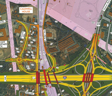
This map shows the latest NCDOT plan for the Cook's Crossing replacement. The onion-shaped road shown in yellow on the left-center side of the map shows a connection from Winecoff School Road to South Ridge Avenue, which connects to Mt. Olivet Road.
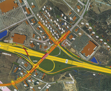
This map shows a new southbound off-ramp (shown in red on the left side), that will replace a previously proposed off ramp that would have taken several houses adjacent to Jaycee Road (shown on the right side of the map).
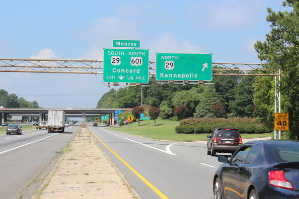
KANNAPOLIS, N.C. --The North Carolina Department of Transportation (NCDOT) unveiled major changes to the planned I-85 widening project through Concord and Kannapolis at a public workshop in Kannapolis on Thursday.
This map shows the latest NCDOT plan for the Cook's Crossing replacement. The onion-shaped road shown in yellow on the left-center side of the map shows a connection from Winecoff School Road to South Ridge Avenue, which connects to Mt. Olivet Road.
This map shows a new southbound off-ramp (shown in red on the left side), that will replace a previously proposed off ramp that would have taken several houses adjacent to Jaycee Road (shown on the right side of the map).